

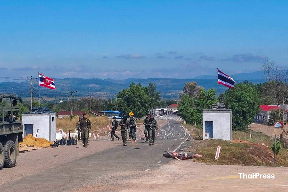
The return of 18 Cambodian soldiers at the Prum-Ban Pak Kard border crossing was more than a humanitarian milestone; it was the first real-world proof that technology has finally caught up with the “Fog of War.”
For decades, the 800-kilometre border between Cambodia and Thailand has been a theatre of “he-said, she-said” skirmishes. Today, we are entering an era where satellite technology, backed by the ASEAN Observer Team (AOT), can effectively guarantee peace with 100 per cent accountability.
The primary driver of border conflict is misinformation. In the past, a single gunshot in the jungle could lead to a week of heavy artillery fire because neither side could verify who shot first. In 2026, that era is over.
Under the Kuala Lumpur Peace Accord, brokered with the help of US President Donald Trump and Malaysian PM Anwar Ibrahim, the border is now under a “Digital Fence”. With US-provided satellite monitoring now fully integrated into the AOT’s reporting structure, every square inch of the border is under a digital microscope.
These are not just cameras; they are sophisticated sensors capable of:
–Synthetic Aperture Radar (SAR): Seeing through the dense monsoon clouds and canopy of the Dangrek Mountains to track troop movements in real-time.
–Change Detection: High-frequency imaging that highlights even the slightest earth-moving activity. This is critical for resolving the most toxic issue between our nations: the accusation of “newly laid” landmines.
Disarming the ‘Mine Accusations’
For years, Bangkok has accused Cambodia of planting new mines, while Phnom Penh has maintained they are old relics of past wars. Just this past November, Thailand suspended the peace deal over such claims.
The “Eyes in the Sky” offer a definitive solution. If a satellite captures no soil disturbance or human activity in a specific coordinate for months, and an explosion occurs, the data proves it was an old mine. Conversely, if a “fresh” burial is detected, the AOT has the evidence to hold the responsible party accountable. By using data to replace suspicion, we remove the primary excuse for military escalation.
Critics argue that international monitoring infringes on national sovereignty. In reality, for Cambodia, the “Eyes in the Sky” are a shield. By providing an objective, third-party record, satellite data prevents stronger military neighbours from shifting “facts on the ground” or using superior air power – like the F-16 strikes we saw in December – without global scrutiny.
As Prime Minister Hun Manet has emphasised, the goal is to transform the border from a “front line” into a “peace and development belt”. Satellites allow us to:
–Verify DMZs: Ensure that temples like Preah Vihear and Ta Mone remain demilitarised.
–Facilitate trade: Reassure investors that logistics routes are safe and stable.
–Coordinate demining: Use multi-spectral imaging to help CMAC teams clear legacy minefields with surgical precision.
Can technology alone bring “100 per cent peace”? No – but it can create 100 per cent accountability. The ceasefire signed on December 27, 2025 succeeded where others failed because it replaced trust with verification. As we look toward the Thai elections in February, the political rhetoric will undoubtedly heat up. However, the “Digital Fence” means that any politician seeking to use the border for electoral gain will be immediately exposed by the data.
Peace in our region no longer depends on the mood of a general or the speech of a politician. It is now coded into the digital maps that watch over us. The return of our 18 soldiers is just the beginning. With the “Eyes in the Sky” wide open, the guns can finally stay silent.
Vichana Sar is a researcher based at the Royal Academy of Cambodia. The views and opinions expressed are his own.


